Via Sancti Martini - The Cross-border Martin's Circle
The Cross-border Martin's Circle is a circular 240 km long hiking trail starting and ending at Hrušica. The circle is part of the official Great European Cultural Route of St. Martin of Tours, which is one of the Council of Europe's European Cultural Routes and connects Hungary, Slovenia, Italy, and France in a total length of about 2500 kilometers.
The Cross-border Martin's Circle offers contact with a rich natural and cultural heritage and a varied geographical landscape. It runs through the southern foothills of the Trnovo Forest, which offer beautiful views of the Vipava Valley and the Karst, through the wine-growing Goriška Brda with picturesque Medana. From there it descends into the culturally extremely rich Friuli and Veneto all the way to the famous and historically extremely important Aquileia. From there it reaches San Martino del Carso/Martinščina and joins the official St. Martin of Tours route in Aquileia.
The circle includes nine churches dedicated to St. Martin (Grgar, Šmartno, Terzo D'Aquileia, San Martino del Carso/Martinščina, Doberdo del Lago/Doberdob, Kostanjevica na Krasu, Žapuže, Brje, Gaberje). From Hrušica the path first rises to the southern foothills of the Trnovo Forest. From Grgar it descends via Holy Mount to Solkan, from there to Šmartno in Brda. It continues to Aquileia and via Martinščina/San Martino del Carso back to Slovenia. Part of the route can be cycled. The circle is divided into 14 stages and is geographically very varied.
Stage through the Municipality of Brda:
5th stage: SOLKAN – SABOTIN – KOJSKO – ŠMARTNO (12 km, 5 hours of walking)
Starting from the square in front of the church in Solkan, the route continues towards the bridge over the Soča /Isonzo River, which provides a splendid view of the historic stone railway bridge – renowned for its largest stone arch in the world. After crossing the bridge, a descent to the left leads to a cycle path. This scenic route follows the river upstream towards Plave, passing the old stone bridge and the Solkan Hydroelectric Power Plant. A short distance beyond the site of the former Šmaver railway stop, a signpost indicates a turn onto an old military mule track. This historic trail winds through wooded terrain and leads to a picturesque viewpoint with a bench. Along the way, remnants of First World War military caves are encountered before the ascent to the summit and the arrival at the mountain hut on Sabotin, where a spectacular view opens to the west. From the mountain hut, the path follows the ridge overlooking the Soča River, offering breathtaking panoramas of Sveta Gora. The trail continues along a forest road and later transitions to asphalt, leading to the Monument to Independent Slovenia. Shortly afterwards, the route turns left onto a descending dirt track, which eventually reaches Kojsko. Below Gonjače, the route meanders through vineyards and orchards, ultimately arriving at the village of Šmartno, home to the magnificent Church of St Martin.
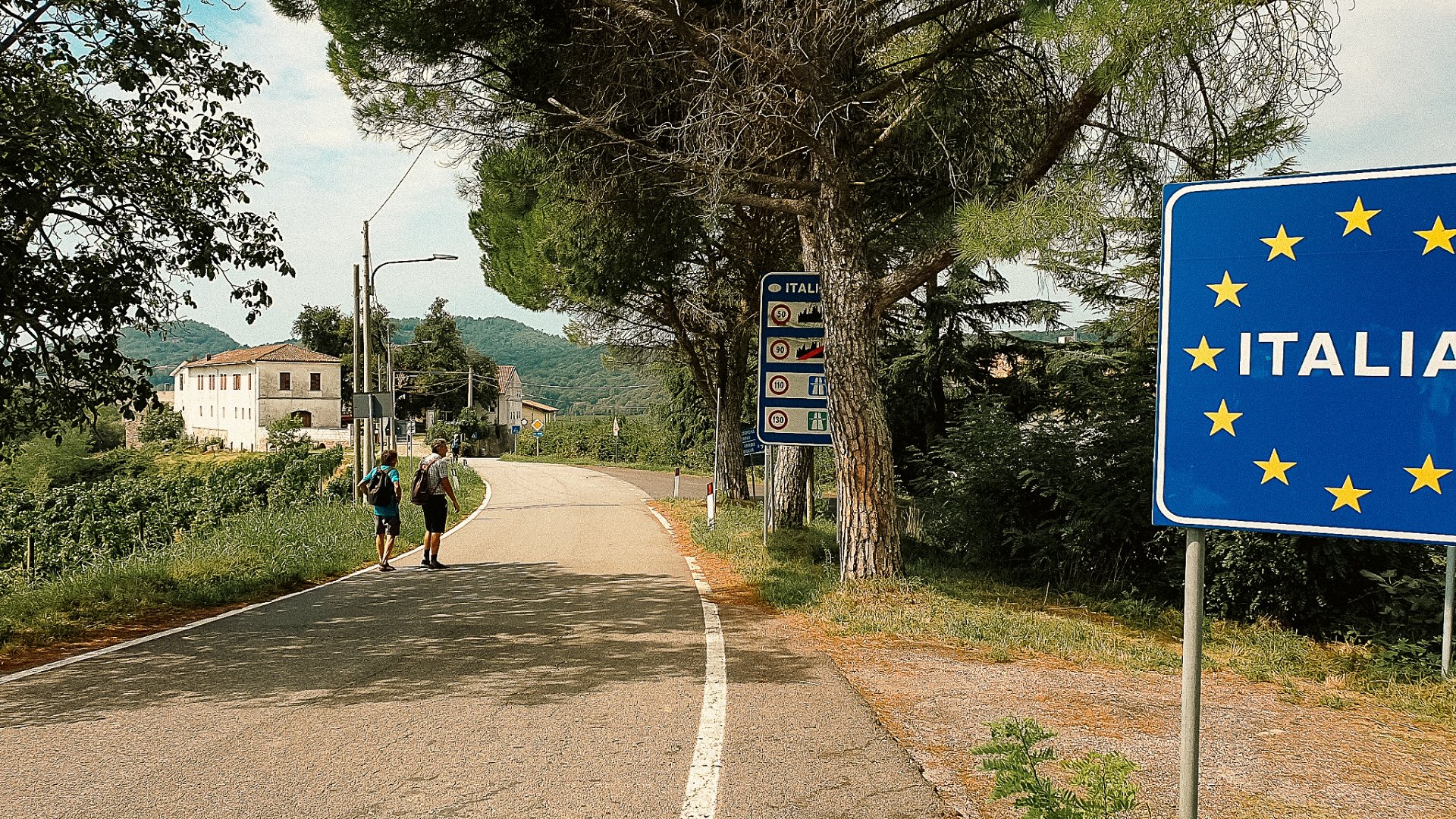
6th stage: ŠMARTNO IN BRDA – KRMIN/CORMONS (13.8 km, 4 hours and 15 minutes of walking)
In Šmartno, one of the Brda region’s most picturesque villages, travellers cross the main road at the bus terminus and descend towards Kozana. Shortly after, a signpost directs them right towards the settlement of Mrtnjak. The route winds through scenic vineyards before entering a forested path that leads to the valley of the Oblenč Stream. Following a cart track alongside the stream, surrounded by lush vineyards, it reaches an asphalt road. Turning right, the road is soon left behind as travellers turn left onto a cart track ascending to the charming village of Medana, renowned for its fine Slovenian wines, gastronomy, and cultural vibrancy. In the heart of Medana, the trail continues left along an asphalt road leading to the village of Ceglo. At the crossroads, a signpost directs travellers right towards Plešivo/Plessiva, where the path crosses the border into Italy. Following the road, a right turn leads into Bosco Plessiva. Ascending through the Plešivo Forest, the route reaches Krminska Gora and then descends into the historic centre of Krmin/Cormons.
Link to the OUTDOORACTIVE APP, where you can find information about individual stages as well as GPS tracks that hikers can download to their mobile phones:
The cross border Martin s circle